Pages

Showing posts with label Grant County. Show all posts

Sunday, November 4, 2018

Traveling West Virginia: Through the Smoke Holes, Part II: Eagle Rocks

We were still in the Smoke Holes canyon, looking for a place I remembered from our last visit: Eagle Rocks. The place was not named for the bird, although eagle sightings of both the bald and the golden eagles are common here. It was named for William Eagle.


A small falls along the way....

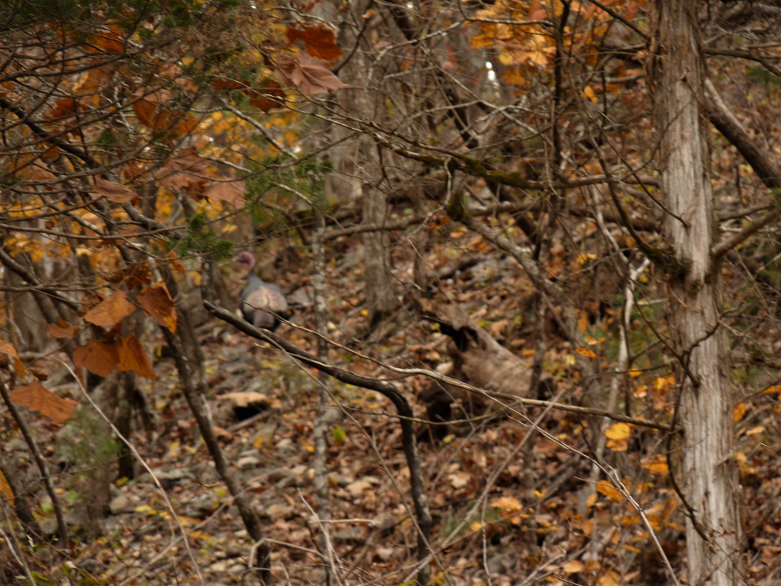
and while taking the photo I saw movement, so I swung my camera quickly. The photo didn't come out well--there were two turkeys but they were moving fast!


And then, Eagle Rocks.


Across the road, vines tangle in the woodland.


Down the road behind us, some elderly men get ready for an afternoon of trout fishing.


And then, this grave: William Eagle, Revolutionary War soldier, who lived in this area until his death in 1848. He was born in 1761. We added our penny to the memorial.


From the Find-a-Grave website, the application for his headstone. So glad someone made the effort to do this.

There are apparently other graves on this site, a few marked with a fieldstone, others just sunken spots in the earth. The gravesite is small, huddled between the river and a mountain, but looks out over this beautiful view. A perfect resting place, I think.


We finally wound our way out to the highway, but sure hated to leave.


Copyright Susanna Holstein. All rights reserved. No Republication or Redistribution Allowed without attribution to Susanna Holstein.

Saturday, November 3, 2018

Traveling West Virginia: Through the Smoke Holes, Part I


Yesterday we re-drove a road we traveled over 10 years ago--I have been wanting to go back ever since. But every time we were in Grant county, WV, we were on a timeline that didn't allow for meandering the back roads.

The Smoke Holes, as locals call it, is a canyon along the South Branch of the Potomac River. Many people are surprised that the Potomac, which runs through Washington DC and into the Chesapeake Bay, is even in West Virginia, but this state is its birthplace.

The name of the canyon probably dates back to pre-white-people days. Native Americans in the area used a cave there that was smoked kinda like a funnel to smoke their meats, and the smoke rising out of an opening in the top of the cave gave the place its name. There are other explanations (moonshiners, mists rising from the canyon) but I believe the one about the early use of the cave by the natives to be the most likely.

So, here is a photo journal of our trip:

As I recall, the road was gravel our last trip. This time it was smooth new pavement most of the way.


In my last post, I posted a photo of this cabin that I took the last time we were here. This time, the grass is still green because this area has had an incredible amount of rain this year.


Notice that the cabin is three stories tall--first floor, second floor, and attic. This would have been the home of a very prosperous pioneer, probably German as the heritage of the region was made up of many German immigrants who brought the log cabin style of building with them. Earliest settlers arrived here around 1750. Imagine how wild it must have been then!


King of the Hill! Well, stump anyway...


As we neared the canyon, the road was lined with fishing camps. This is prime trout-fishing country.


Abandoned farmsteads were scattered along the road too, possibly bought out by the government when this became federal land? I'm not sure--they may be testament to the ruggedness of life in this remote area.

Finally in the canyon, a stone cellar built, my brickmason husband said, in the Italian style of stone masonry.


Nearby is this log church, originally called Palestine Church, now called St. George's, built in 1850


Tomorrow, the rest of our trip through the canyon.

Copyright Susanna Holstein. All rights reserved. No Republication or Redistribution Allowed without attribution to Susanna Holstein.

Thursday, November 3, 2016

On Dolly Sods

It's time to get back to blogging about our everyday life again, now that I have finally (well, almost) exhausted the memories of our trip to England and Wales. What better place to start than our recent visit to Dolly Sods?

Dolly Sods is a wilderness area in Grant county, WV and is named for the Dahle family who were early German settlers in the area and once owned the mountain.

Its rugged terrain with some of the highest altitudes in our state. These days it is a popular destination for hikers and campers, and berry pickers often come in summer to hunt for the wild blueberries and huckleberries.
There are signs around the area warning of live bombs and ammunition, remnants of World War II training that was conducted here.

It has been quite a while since we were up on Dolly Sods. I had a storytelling event in Grant county last week though, and combined a visit with my oldest son and his family who live in Grant county, the storytelling performance and a quick trip to see the spectacular views from the mountains.

I was surprised that there were so many people there on a Monday.It was very windy and chilly, but there were a lot of people, especially on Bear Rocks which supplies some easily accessible, stunning views. In summer, one needs to be wary of snakes--rattlesnakes and copperheads love this wild land and all the rocks. The wind was so fierce when we were there this time that I had to be extremely when I was out on the cliffs taking photos.

Bears are frequently sighted here, and the smart visitor knows to keep their distance because while black bears are generally not aggressive, a person could inadvertently irritate the bear by getting too close to its young, for instance. We saw neither snakes or bearss this visit, although we have seen both in the past.

About 20 years ago Larry and I camped up on Dolly Sods, and I came away with two memorable stories. Well, maybe three. First, my son and grandson came up to visit us at our campsite. Clayton was 4 or 5 years old I think. We had a campfire and roasted hotdogs and marshmallows, and  Clayton and I went bear-hunting. It was such fun to play imaginary games with him! I still smile, remembering how much he loved being up there, and how he begged to spend the night with us. My son knew his boy, though, and was pretty sure that come midnight, Clayton would have been wanting to go home.

Teaberry is abundant on Dolly Sods. The berries smell exactly like
Clarks Teaberry Gum!
The second memory is of an elderly gentleman who was camping nearby. He was a member of the Dolly family and told us about his boyhood in the area, and about coming up on the mountain to pick berries. According to him, everyone turned their cattle, sheep and hogs loose to grave on the mountain in the summer, and they would go up and round them up in the fall--very like the Swiss do.
He also told us that people used to set the mountain on fire intentionally every 3-4 years so that the berries would grow. This kept the trees and other growth from shading out the berry bushes.

Erosion is evident on the rocks, and most of them seem to be
made of sedimentary material--which is odd, considering
that they are on top of a mountain. The red leaves of a
blueberry or huckleberry bush are behind it.
He said that once the federal government took it over they had to stop the burning, although they would still sneak up there and do it for the first few years after the government came in. He said the burning was probably the reason for all the exposed rocks, and that could be true, as the settlers took the practice from the Native Americans, so who knows how long that had been going on? Given the winds and the relatively dry climate on Dolly Sods, it seems reasonable to think that the top soil would have blown away, exposing the rock. True or not? I don't know.

Wikipedia offers a different version of the history of the area: "The area surrounding Dolly Sods was formerly described as the best spruce-hemlock-black cherry forest in the world, with some enormous trees up to 12 feet in diameter. The huge spruce and hemlock became accessible in 1884 when the West Virginia Central and Pittsburgh Railroad, a predecessor of the Western Maryland Railway, first arrived at nearby Davis, from a junction with the B&O Railroad at Piedmont. In 1899, the Parsons Pulp and Lumber Company (PPLC) established a sawmill at Dobbin on the North Branch Potomac River in Grant County. In 1902, the PPLC installed a new band saw mill on the main stem of Red Creek. The lumber boom town of Laneville soon sprang up around it with a population that peaked at over 300 people.[8]Shay locomotives climbed the temporary railroads into the mountains and backcountry logging camps sprang up throughout the Sods, clearing away the virgin forest to feed the hungry mills. Teams of draft horses dragged all the commercial timber to the nearest tracks. When the timber was exhausted in the sector around one camp, the rails were taken up and reused elsewhere. It was into the mill at Laneville that most of the timber of the southern two thirds of the Sods disappeared.

"Unfortunately, however, the humus covering the ground dried up when the protective tree cover was removed. Sparks from the locomotives, saw mills and logger's warming fires easily ignited this humus layer and the extensive slash — wood too small to be marketable, such as branches and tree crowns — left behind by loggers. Fires repeatedly ravaged the area in the 1910s, scorching everything right down to the underlying rocks. All insects, worms, salamanders, mice and other burrowing forms of life perished and the area became a desert. The destruction was extraordinary.[9] The complete clearcut of this ecologically fragile area, followed by extensive wildfires and overgrazing, exacerbated by the ecological stresses of the elevation, have prevented quick regeneration of the forest which has taken decades to recover. The Monongahela National Forest was created in 1915, largely motivated by a desire to mitigate the sort of wholesale destruction that had swept over the Sods. In 1916 most of Dolly Sods was purchased by the federal government for the MNF from the Bridges Estate." 

The third memory is a story that I laugh at now although at the time it wasn't quite so funny. On that same camping trip we had dropped off our youngest son to spend a week with our son in Virgina. It was a treat for us to have a camping trip with just the two of us. After my son and grandson left, we prepared for bed. I went to get my bag and it wasn't there.

"Larry," I said, "did you get my bag?"

"We just have one, don't we?" he asked. "I gave Tommy his two, and ours is in the car."

Um, no. We had two--one for him and one for me. So there I was on top of lonely Dolly Sods with no clean clothes, no sweatsuit to sleep in (gets cold up there, even in August), and no clean underwear.

You can imagine how quiet it was in our tent that night. I was so angry but knew better than to start talking!

Next morning we went out to pick berries, the reason we were there in the first place. As I stretched to reach one patch, my foot slipped and I heard a R-R-R-I-I-I-P-P-P! That was the seat of my pants--and my shirt did not come down far enough to cover the hole. The trip home was even quieter than the night in the tent--I had no clothes to change into so any bathroom breaks for me meant a run into the bushes. That was a trip to remember--and now to laugh about.

One path I went down took me to a lovely spot, a small clearing surrounded by tall pines.

In its center was a witch hazel tree in bloom.


Such a pretty, unexpected sight when all other trees are losing their leaves.

We did not get to the very end of Dolly Sods. Time passed so quickly up there, and we needed to get back so I could prepare for my storytelling event that evening. I hope we can return soon, perhaps in the spring after the snow melts and the road re-opens.


Copyright Susanna Holstein. All rights reserved. No Republication or Redistribution Allowed without to Susanna Holstein.

Wednesday, June 4, 2014

Greenland Gap

Last week we drove across state to attend our grandson's graduation. As always, the drive was gorgeous; I can never decide in which season the mountains are at their most beautiful. On this trip, I wanted to be sure we took the time to drive through Greenland Gap, a 250-acre parcel of incredible landscape that is protected by the Nature Conservancy. It's not easy to find, really, since there are few signs leading you to the Gap, but I had a vague memory of how to get there, so we decided to visit the area on our way home.

We got an early start and turned confidently up the road leading, I thought, to the place but after driving a bit decided it was not the right way. After a few more false starts we asked directions from a state roads worker--who would know better, right?--and soon we were there.

What is Greenland Gap? It's exactly what it says, a gap cut through the mountains by Patterson Creek. During the Civil War it was the site of a battle between Union and Confederate troops; the small 87-man Union unit held off 1500 Confederates for four hours before surrendering. It is easy to see how they could have done so because the opening between the rocky cliffs is so narrow it would have been pretty easy to defend. (The defenders, who were holed up in a church and a cabin, were eventually burned out and that ended the conflict.)

Being there early in the day was a special delight. The air was almost chilly, sharp and bright, and the sunlight was just beginning to filter through the trees.

Patterson Creek was running high due to recent rains, and the waterfall was perfect. I honestly could have stayed all day just listening. Is there anything as restful as the sound of water running over rocks?

There are two hiking trails in the gap but we were not equipped, and probably not in the physical shape, required to tackle them. The trails lead to the top of the towering cliffs on either side; jumbled rockfalls litter the sides of the cliffs and the going is pretty tricky, so I hear. There are some Canadian plants growing in the area, and I have heard reports of eagle sightings although I do not know if those are verified or if vultures who hang out here were mistaken for the more stately bird.

I was focused more on the creek, I'm afraid--no photos of those majestic cliffs. With the green leaves so thick, I don't know that I could have taken one from where we were, anyway.

I hated to leave but we had miles to go before reaching home. We'll be back, though--it will be part of our visits to our son's house, we decided. Some places are just worth seeing again and again. Greenland Gap is one of those places.


You can see a video made by WCHS-TV about Greenland Gap, and hear the waterfall for yourself by clicking here.

Copyright Susanna Holstein. All rights reserved. No Republication or Redistribution Allowed without attribution to Susanna Holstein.

Monday, June 7, 2010

Goin' Across the Mountains

Saturday at noon we headed across the mountains to Romney, West Virginia to tell ghost stories for a kids camp. A lot of the trip across Route 50 looked like this--mountains and rain.

Part of our path traveled through a tiny part of Maryland, and as soon as we re-entered West Virginia we were in Gormania. The name of this little town sounds like something right out of gothic literature to me and the place lives up to that image quite well. Actually, I think it's looking better these days because some teetering old buildings have been torn down since the last time I was there.
Main Street, Gormania. This town is in the deep mountains and winters here can be harsh and isolating.
Some miles away, we passed close by Saddle Mountain. Wherever did it get its name? I think this is one of the most scenic parts of West Virginia; the mountain views are spectacular if you can get someone else to drive so you can look and take pictures. Thanks, Larry!


I arrived at the place I was to tell stories a little early, so we ventured on down the south Branch River Road a bit and found even more beautiful scenery. The greens of June have to be experienced because there are no words to describe them. The dark green corn testifies to the fertility of this valley. There were many fine homes along this road, but my camera card was full and I had to miss taking photos of them.


These pictures remind me of this old song:

Going Across the Mountain

Going across the mountain,
Oh, fare you well;
Going across the mountain,
You can hear my banjo tell.

Got my rations on my back,
My powder it is dry;
I'm a-goin' across the mountain,
Chrissie, don't you cry.

Going across the mountain,
To join the boys in blue;
When this war is over,
I'll come back to you.

Going across the mountain,
If I have to crawl,
To give old Jeff's men
A little of my rifle ball.

Way before it's good daylight,
If nothing happens to me,
I'll be way down yander
In old Tennessee.

I expect you'll miss me when I'm gone,
But I'm going through;
When this war is over,
I'll come back to you.

Going across the mountain,
Oh, fare you well;
Going across the mountain,
Oh, fare you well.


If you are a lover of old-time music, check out the yewpineymountain blog for good videos of some of the giants of old-time--even Melvin Wine, a legendary fiddler who passed away some years ago. What a treat to see and hear him play again.


Thursday, April 29, 2010

Jordan Run and Knobley Road

These pictures are from two weeks ago when we visited my oldest son in Grant county, West Virginia. The trip is too pretty to describe in words, and it doesn't matter what time of year you travel along these country roads.
Old, well-kept farmhouses abound; there is a lot of good farmland in this area and many farms have remained in the same families for many years.


Apple trees are everywhere, probably in testament to the many orchards that once dotted these mountains. Many are wild seedlings; all bloom prolifically and make the air sweet with their scent.


The woods were just coming alive with green and hints of red as the redbuds were just coming into bloom.
And lilacs! This area must be the lilac capital of the state. The bushes seem to thrive on the climate and soil; I saw many that were probably over 15 feet tall, and as far across.

Redbuds! Can you tell I like them?

Around each curve, a new vista offered glimpses of mountains in the distance just beginning to don their green coats.

And sometimes, there was something surprising in the view--like these faraway giant windmills. can you see them on the ridge at the back of the photo?


What's that high on the mountain to the right? Snow, still hanging on to the rocks in the Dolly Sods wilderness area.

The many shades of green are breathtaking at this time of year. I am glad we've been able to get out and travel a bit this month. Often in April we're so busy with gardens we miss what's going on over on this eastern side of West Virginia.
Related Posts Plugin for WordPress, Blogger...